SLAM Toolbox
SLAM Toolbox 是以 SRI 的 Open Karto 為基礎的 ROS 2D 雷射位姿圖 SLAM 套件,提供同步建圖、非同步建圖與純定位三種模式,也支援多次作業(multi-session)建圖。它把完整的原始掃描與位姿圖一起序列化,因此可以日後載入並繼續精修或擴充地圖,也能手動調整位姿圖節點、協助困難的迴圈閉合,或以運動學方式合併多張地圖。純定位模式把目前作業的量測以滾動緩衝加入原位姿圖,舊量測過期後即移除,作者稱為彈性位姿圖變形。作者並把原本的 SBA 最佳化介面改為 Ceres 外掛,重寫量測匹配以取得約十倍加速。
本頁內容
ROS and ROS 2 2D laser pose-graph SLAM built on Open Karto with Ceres optimization, serialization of raw scans and pose graph for multi-session mapping, manual graph editing, map merging and rolling-buffer pure localization.
技術屬性
欄位內容為文獻擷取紀錄的原文用語(英文),以原文為據;「未查證」表示本研究尚未讀到該資訊,不代表該方法不具備此能力。
| 感測輸入 | laser scanner (paper); planar 2D scans per the repository README, which the paper itself does not state、wheel or other odometry supplied as the odom-to-base transform (repository README; not stated in the paper) |
|---|---|
| 原文測試平台 | wheeled mobile robots (deployment list only; no controlled experiment is reported) |
| 狀態估計 | graph-based SLAM derived from Open Karto; the provided Sparse Bundle Adjustment optimization interface was replaced by Google Ceres behind a run-time dynamically loaded optimizer plugin interface (Features) |
| 資料關聯 | Open Karto measurement matching, restructured for about a 10x speed-up and multi-threading; new processing modes and K-D tree search for localization and multi-session mapping (Features); the matching algorithm itself is not described |
| 時間表示 | discrete poses |
| 去畸變 | 原文未報告 |
| 迴圈閉合 | loop closures inside the pose graph, including between separate mapping sessions (Fig. 3); detection method not described in the paper |
| 全域最佳化 | pose-graph optimization with Ceres through an optimizer plugin (Features) |
| 地圖表示 | pose graph with the complete raw scan data serialized (not submaps as in Cartographer); 2D maps rendered for navigation (Figs. 1, 3) |
| 先驗資訊 | optional prior session(s): a deserialized pose graph and scans for multi-session mapping or pure localization |
| 可輸出幾何 | 2D map for navigation and localization; serialized pose graph and raw scans |
| 計算需求 | real time on mobile Intel CPUs typical of mobile robots; spaces well in excess of 100,000 ft2 and up to 24,000 m2 (250,000 ft2) mapped in real time (Summary; Features) |
使用設備
原文使用的感測器、運算硬體與載具(equipment)。型號保留原文寫法,連結到設備頁中同一型號的歸併名稱;角色依原文用途分為方法輸入、資料集感測器、執行運算平台、參考或真值量測(reference or ground truth)與比較對象設備。
| 類別 | 型號(原文寫法) | 角色 | 資料集 | 原文規格 | 出處 |
|---|---|---|---|---|---|
| LiDAR | laser scanner (model not reported) | 方法輸入 | 未標示 | laser scans are the mapping input (scan matching, pose-graph nodes, manual scan-to-map matching in Fig. 2); 2D per the repository README, not stated in the paper | (Macenski & Jambrecic, 2021, Summary; Features; Fig. 2) |
| 運算硬體 | mobile Intel CPUs typically found on robots (models not reported) | 執行運算平台 | 未標示 | real-time mapping of spaces well over 100,000 ft2 | (Macenski & Jambrecic, 2021, Features) |
論文圖片
只收錄原文以開放授權(open license)釋出的圖片,並依授權條件標示出處、圖號、授權與修改方式。
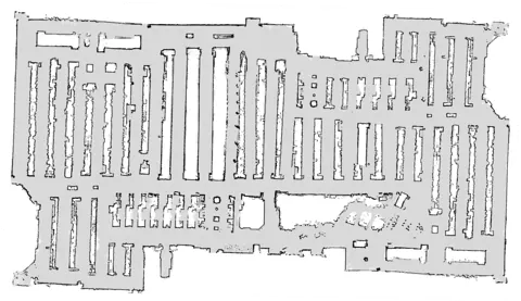
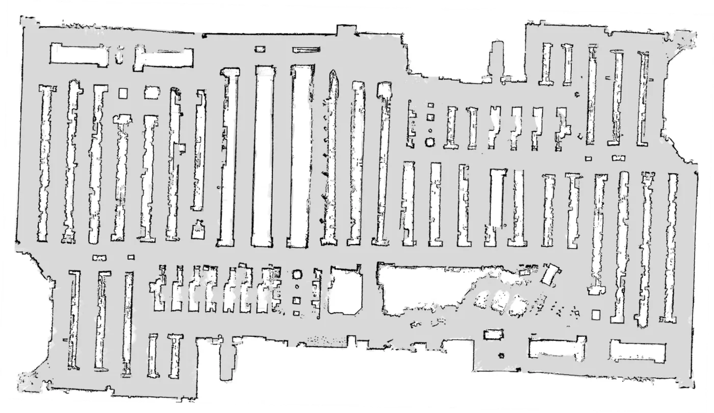
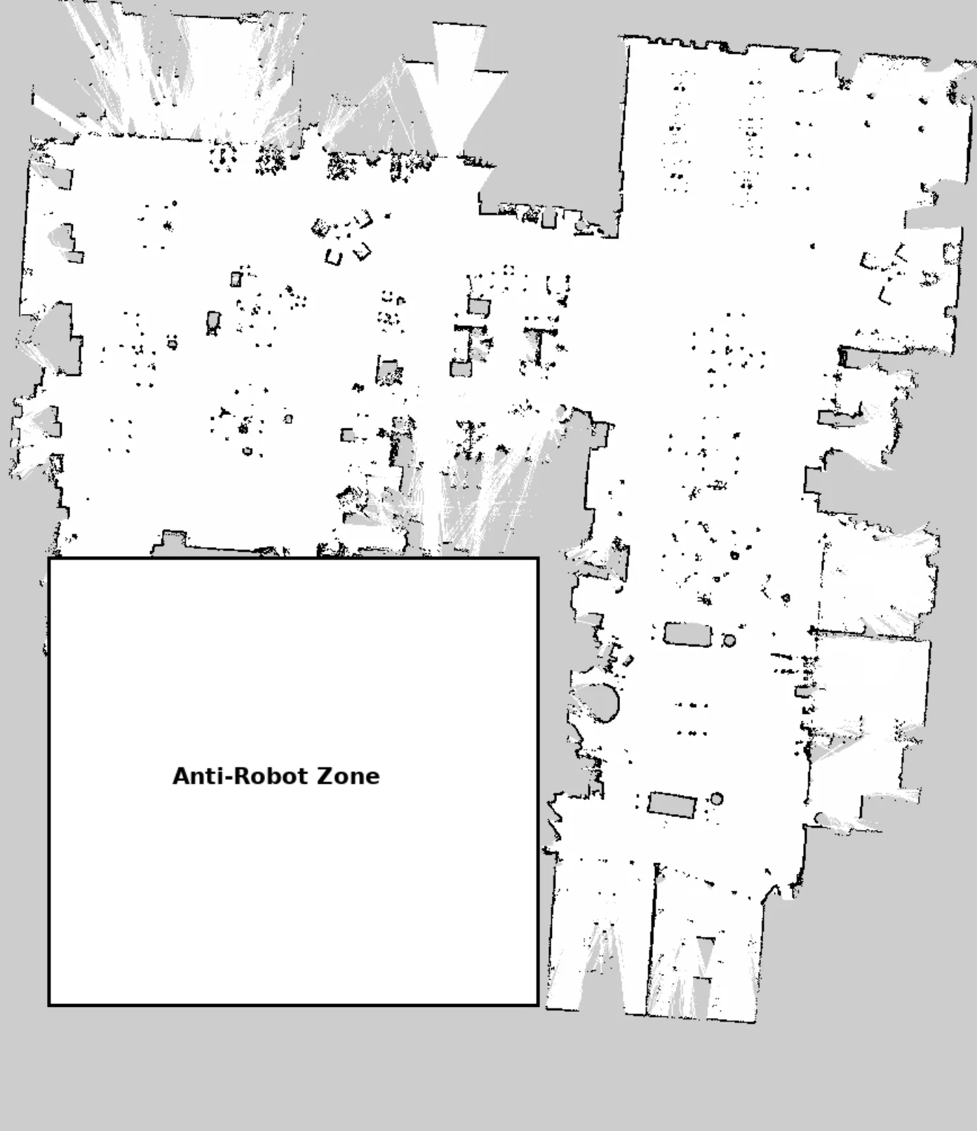
Fig. 1以 SLAM Toolbox 建立的零售賣場二維地圖(圖源為作者 2019 年 ROSCon 報告)
出處:Macenski & Jambrecic, 2021,Fig. 1。授權:CC BY 4.0。原始圖檔。修改:縮小至寬度不超過 1400 px,並轉存為 WebP 格式。
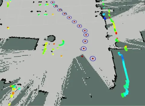
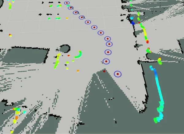
Fig. 2手動調整位姿圖節點、使該節點雷射掃描對齊地圖的操作畫面
出處:Macenski & Jambrecic, 2021,Fig. 2。授權:CC BY 4.0。原始圖檔。修改:轉存為 WebP 格式。
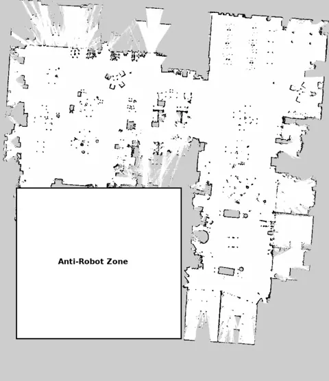
Fig. 3分兩次作業建立並合併的大型辦公大樓地圖,兩批資料之間有多個迴圈閉合
出處:Macenski & Jambrecic, 2021,Fig. 3。授權:CC BY 4.0。原始圖檔。修改:轉存為 WebP 格式。
作者報告的優勢與限制
優勢
- Mapped spaces as large as 24,000 m2 (250,000 ft2) in real time by non-expert technicians (Summary).
- Serializing the complete raw data and pose graph enables multi-session refinement, manual pose-graph manipulation and kinematic map merging (Features; Figs. 2-3).
- Selected as the default SLAM vendor in ROS 2, replacing GMapping, and integrated into Navigation2 (Summary).
- Measurement matching restructured for a 10x speed-up with multi-threading; optimizer exposed as a plugin (Features).
- The authors argue GMapping fails to close loops accurately at industrial scale and Hector SLAM lacks loop closure, motivating a graph-based approach (Related Work).
限制
- No quantitative accuracy or runtime evaluation in the paper (whole paper) (inference)
- Pure localization mode cannot persist environment changes; buffered measurements expire (Features)
- Asynchronous mode may omit valid measurements when processing lags (Features)
- Planar 2D mapping only (repository README; the paper does not say 2D explicitly)
營建工程相關證據
未在營建場域驗證,論文也沒有定量精度評估。作者以零售賣場、倉庫與大型辦公建築為目標,並報告即時繪製達 24,000 m2 的空間(Summary);多次作業建圖與手動修正位姿圖的功能,與大型建築室內分區、分次掃描後整合平面地圖的需求相關(推論)。GitHub README 另稱曾以同步模式繪製 200,000 平方英尺的建築,這屬軟體說明,並非同儕審查的結果。
原文驗證環境:已完工建築
報告的性能數據
以下是原文作者報告的性能數值(author-reported results),不是本研究重新量測的結果。每張圖只並列同一個比較組(comparison group,同一張表、同一組實驗設定)內的方法;不同比較組之間的數值不可直接比較,也不構成排名。
本方法共出現在 1 個比較組,合計 2 筆紀錄。
Macenski & Jambrecic, 2021 · Text Summary and Features 本方法 2 筆
資料集與序列不適用 (deployments) · largest mapped space
表格設定(擷取紀錄原文):Scale and speed statements without a controlled benchmark (Macenski & Jambrecic, 2021, Text Summary and Features)
area mapped in real time by non-expert technicians,不適用 (deployments) · largest mapped space
這張表在此指標與資料序列只列出本方法一筆,沒有可並列的其他方法,因此不畫圖,數值與出處見下表。這是 Macenski & Jambrecic, 2021 在此表設定下報告的數值(author-reported results),不代表方法在其他資料或設定下的表現。
| 方法(原文寫法) | 報告值 | 出處 |
|---|---|---|
| SLAM Toolbox本方法原文提出硬體:not reported | 24000 m2 | (Macenski & Jambrecic, 2021, Summary) |
來源
Macenski & Jambrecic, 2021
(2021)SLAM Toolbox: SLAM for the dynamic worldJournal of Open Source Software, 6(61):2783
同儕審查已出版已讀全文近十年查證後修正
相關版本
- 程式碼釋出:SteveMacenski/slam_toolbox (LGPL-2.1) https://github.com/SteveMacenski/slam_toolbox
- talk:Macenski (2019) On use of SLAM Toolbox, ROSCon 2019 (source credited in the figure captions) https://doi.org/10.36288/roscon2019-900903
- builds on:Open Karto / Karto SLAM (Konolige et al., 2010) https://doi.org/10.1109/IROS.2010.5649043
程式碼:https://github.com/SteveMacenski/slam_toolbox(授權:LGPL-2.1 (stated in the paper Summary; LICENSE file checked))。有公開程式碼不等於已被重現,也不代表目前版本與論文版本相同。